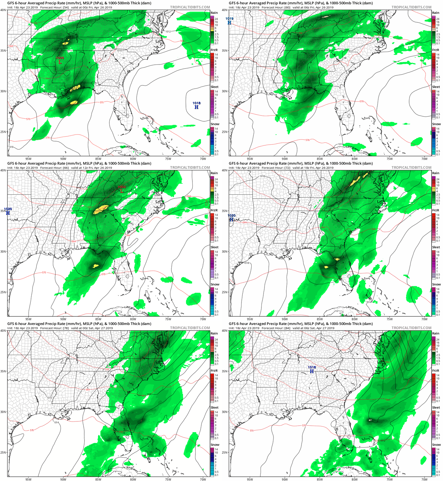
Above average temperatures are here to remain into the weekend, but showers and storms will be possible on Friday ahead of a quick moving upper level disturbance.
A ridge of high pressure located over the southeast is expected to break down on Thursday, allowing an area of low pressure to move in from the east. This high pressure has been responsible for the above average temperatures this week.
This disturbance is weaker than last week’s system, so I am not expecting the widespread severe weather and flooding rains like last week. Showers and storms are likely on Friday, but the rain will not be as heavy or as widespread. Some areas will be missed by the popup showers and storms.

The GFS computer model shows the showers and storms progressing across the Carollinas, entering the mountains during the morning hours and moving east through the afternoon and evening hours. While a few strong storms are possible, widespread severe weather is not expected.
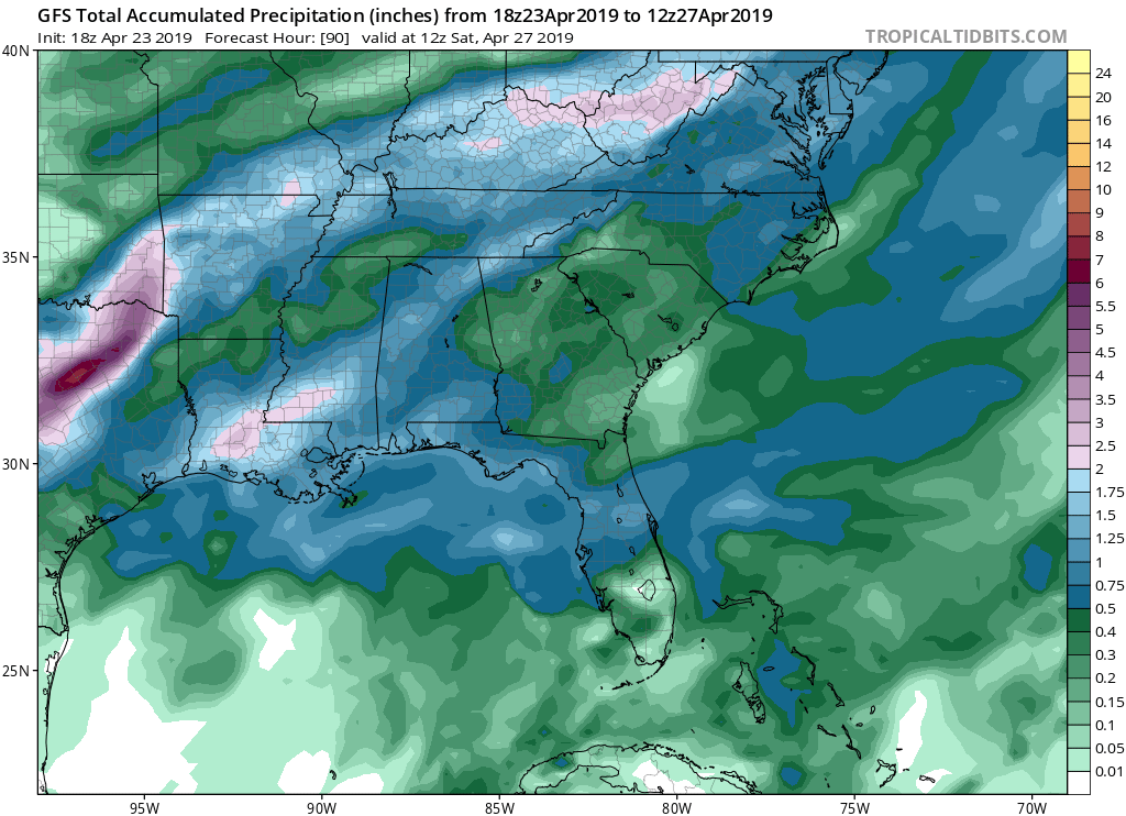
Rain totals will also be lighter due to the quick moving nature of the system. I expect most areas to receive a tenth to a quarter of an inch of rain; however, some areas may not receiving any rain due to the popup nature of the showers and storms.

Behind the front, high pressure is expected to build into the Carolinas, which will set up a seasonal weekend with temperatures in the 70s for Saturday and Sunday.
