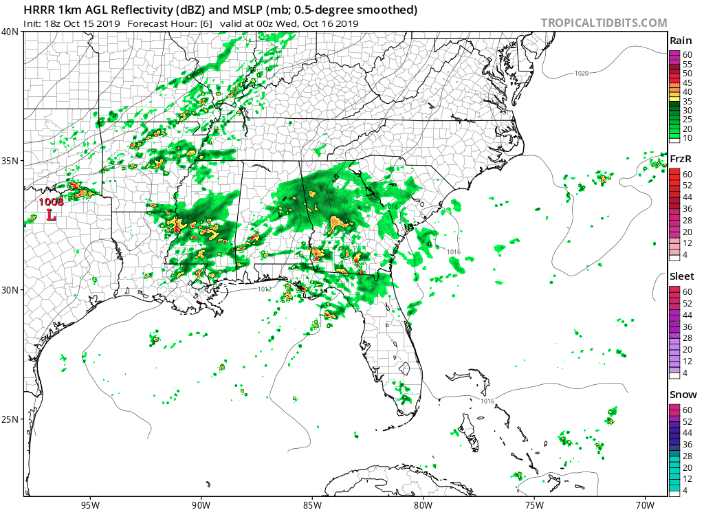
A cold front is approaching from the west and is expected to bring showers and a few thunderstorms to the Carolinas tonight and Wednesday.
There is a stalled front to the south and a cold front approaching from the west. Moisture is expected to be drawn northward overnight as the cold front approaches from the west. This type of scenario usually leads to lower rain totals across the Carolinas; however, I am still expecting showers and even some thunderstorms as the front passes.
The future radar has the showers developing across the mountains and foothills around midnight, with more showers developing across the piedmont and coastal areas during the morning hours. A line of thunderstorms is even possible across coastal locations during the evening hours as the area of low pressure begins to strengthen.
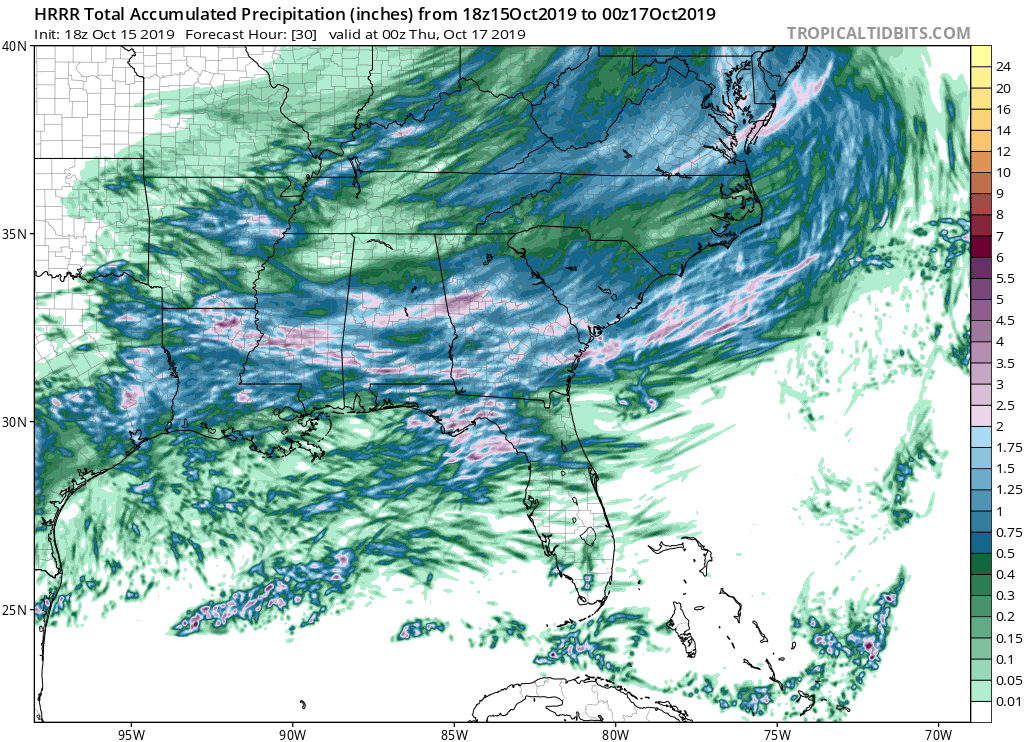
Most areas are expected to receive under a half of an inch of rain from this system. The heaviest rain totals are expected near the NC/VA border with lower amounts as you move near the I-85 corridor.
Behind the front, we will see the coldest air this fall season. Some mountain locations may experience their first frost on Thursday and Friday morning.
