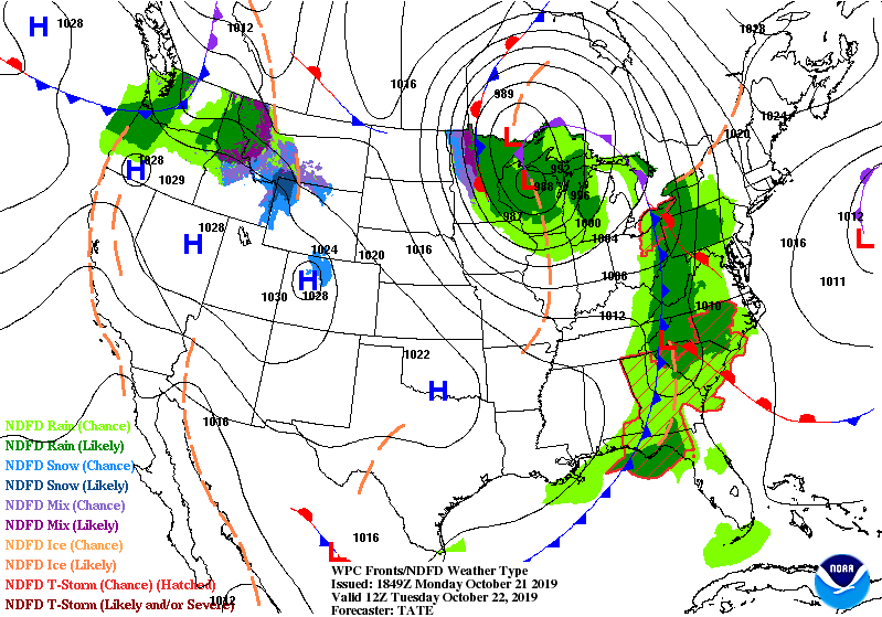
A cold front is approaching from the west and is bringing another round of showers and possibly severe thunderstorms tonight and Tuesday to the Carolinas.
The showers and storms are expected to enter the mountains during the early morning hours on Tuesday and push eastward through the morning hours. The morning commute in the mountains, foothills, and western piedmont is expected to be wet with the showers and storms around.
The futurecast radar shows the showers and storms moving through the Carolinas after midnight and lasting into Tuesday.
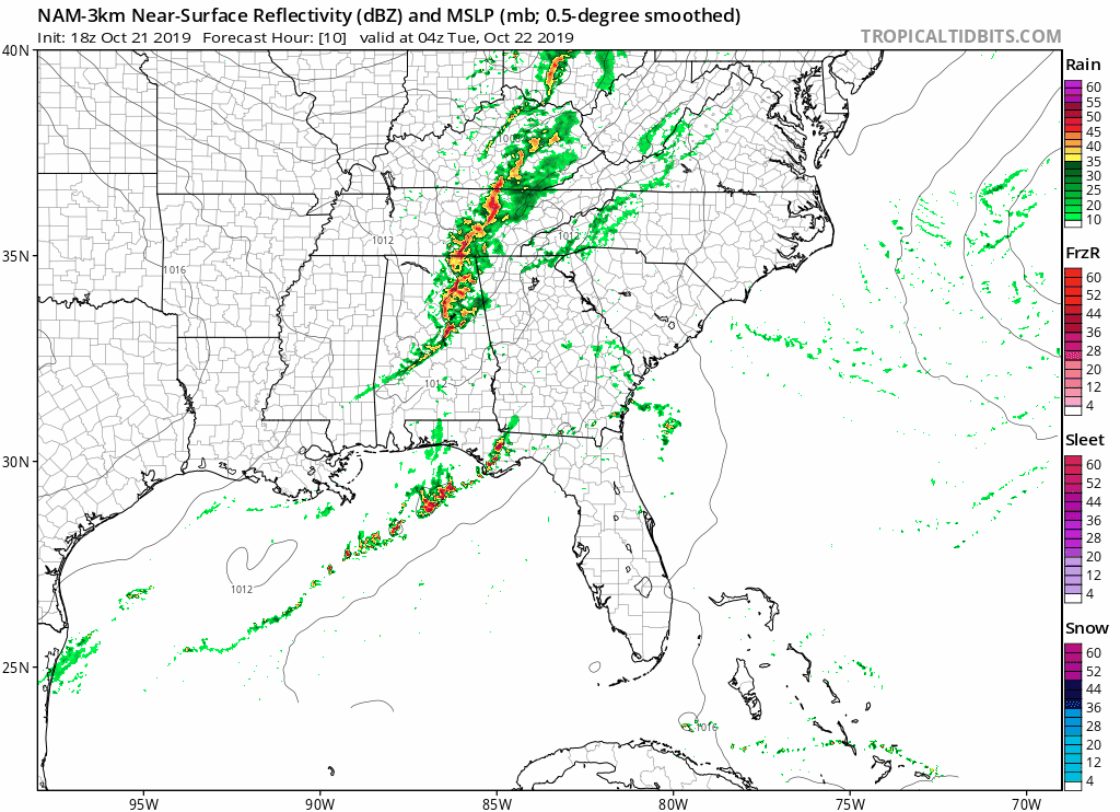
A few severe storms are possible in the western Carolinas due to strong upper level winds. The winds at 5000 feet are expected to be gusting up to 80 mph and these winds may come down to the surface if thunderstorms develop. Straight line winds will be the greatest threat.
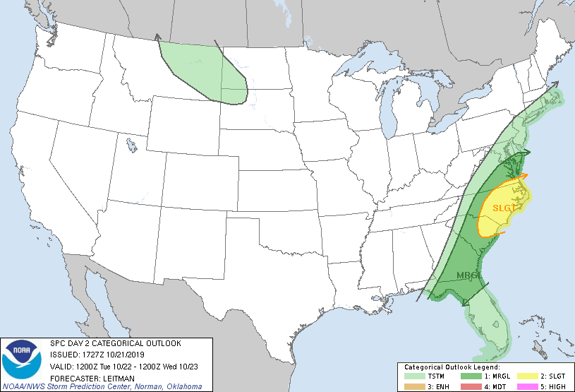
There is a slight chance of severe weather Tuesday afternoon across eastern NC. The greatest threat will be damaging wind gusts.
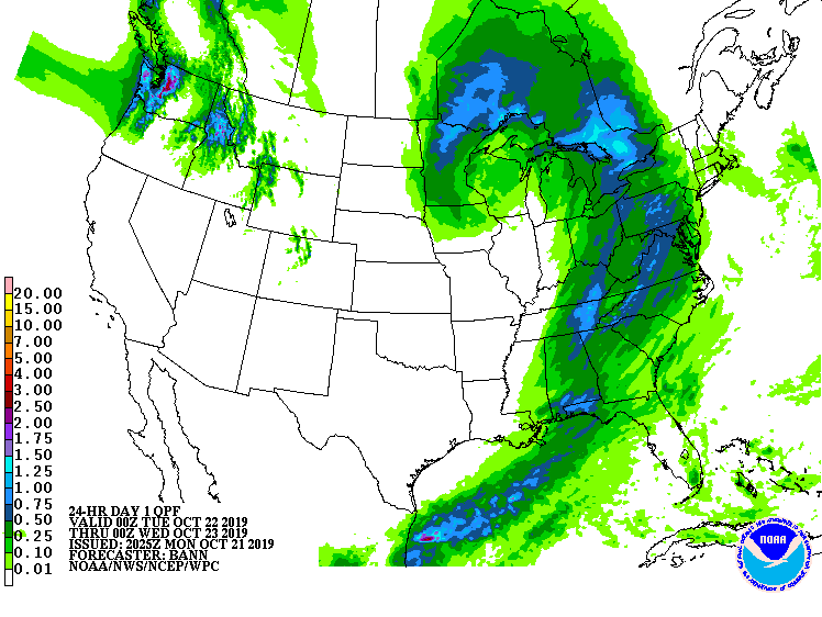
The greatest rain totals are expected in the mountains and foothills, were around a half of an inch of rain is expected. Higher amounts are possible where thunderstorms develop.