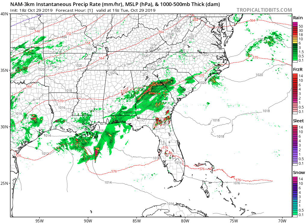
A cold front is expected to bring a chance of rain for nearly 48 hours for parts of the Carolinas on Wednesday and Halloween.
Showers are expected to develop across the mountains, foothills, and western piedmont Wednesday morning. These showers are expected to continue off and on during your Wednesday, and there is a good chance for heavy rain during your evening commute in the mountains, foothills, and western piedmont. It will not be a washout, but it will not be totally dry either.

On Halloween, the cold front is expected to approach from the west and will interact with warm moist air being drawn northward by a strong southerly jet. A squall line of strong to severe thunderstorms may develop Thursday afternoon in the mountains and push eastward into the foothills and piedmont during the prime Trick-Or-Treat hours.

A few severe thunderstorms are possible, and the Storm Prediction Center has put many locations in North Carolina under a marginal risk of severe weather on Thursday. The greatest threat would be damaging wind gusts, but an isolated tornado can not be ruled out.

Another threat will be the heavy rain that is expected to fall in western NC. Southwestern facing slopes of the mountains may locally see 5+ inches of rain, with many mountain locations expected to receive 2-4 inches of rain. Flash flooding may be an issue. Foothill locations are expected to see 1-3 inches of rain, with piedmont locations receiving around an inch or two of rain. Lower rain amounts are expected in coastal areas.
Behind the front, some of the coldest air this season is expected to move in. Some areas in the mountains, foothills, and piedmont may see their first frost or freeze this weekend.
I will continue to monitor the severe weather situation on Thursday and will keep you updated with the latest information from the Storm Prediction Center.
