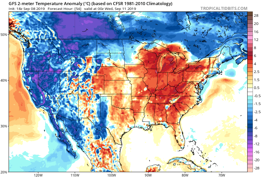
The abnormally warm temperatures that have plagued the southeast United States is expected to remain this week, and unfortunately rain chances are expected to remain low for many areas that are in need of rain.
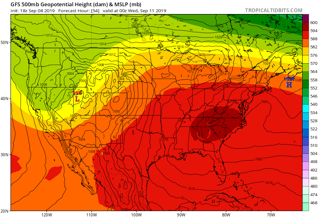
The upper level ridge is firmly in place across the eastern United States. This ridge is expected to strengthen during the first part of the week, allowing for above average temperatures for much of the week. Many areas outside the mountains are expected to be in the low to mid 90s through Wednesday with abundant sunshine.
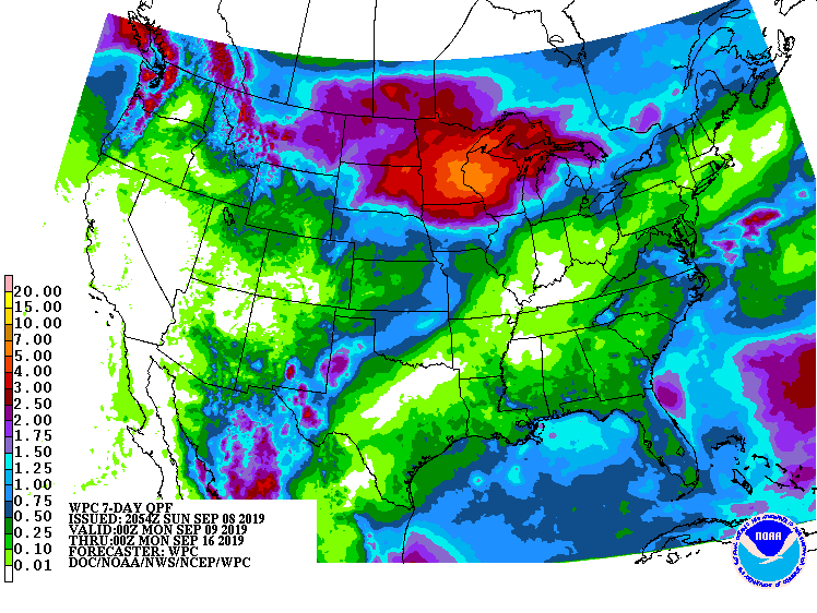
Many areas in eastern NC received rain from Dorian, and these areas were in drought conditions. Unfortunately for western and central NC, these areas did not receive any rain from Dorian.
The good news is showers are expected to increase Thursday, Friday, and this weekend. The bad news is the showers and storms are not expected to be widespread, so some areas will miss out on the rain.
With increased cloud cover, high temperatures are expected to be lower this weekend; however, the temperatures will still be above average for this time of year.
Looking at the long range, the upper level ridge is expected to hold strong over the next six to ten days, which allows for above average temperatures. The good news is there is also a better chance of rain, which is needed across western and central NC.
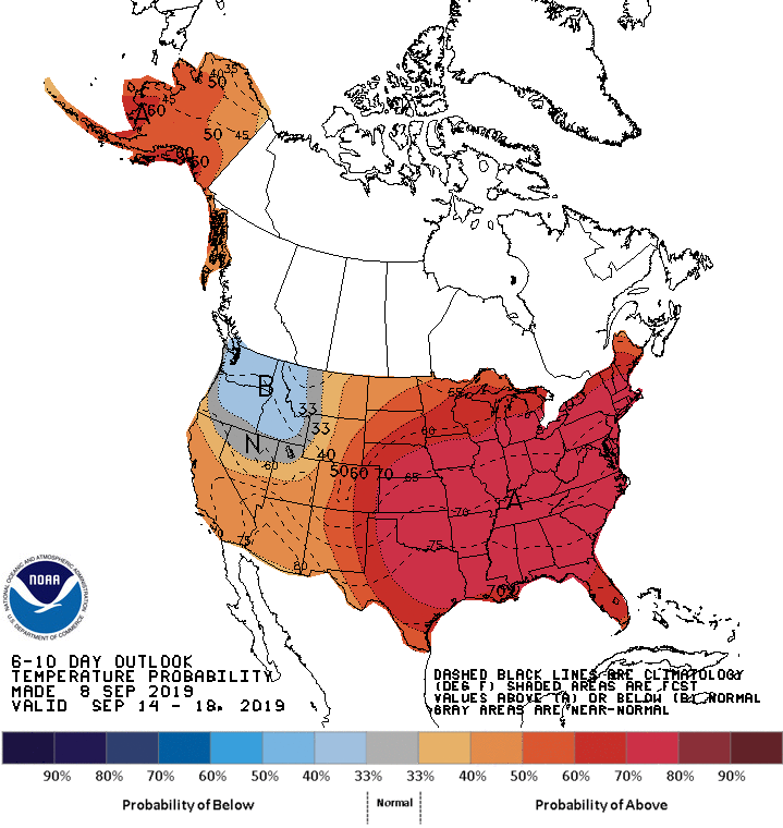
Temperature Probability 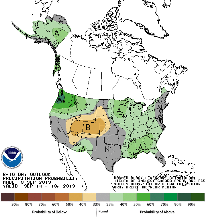
Precipitation Probability
