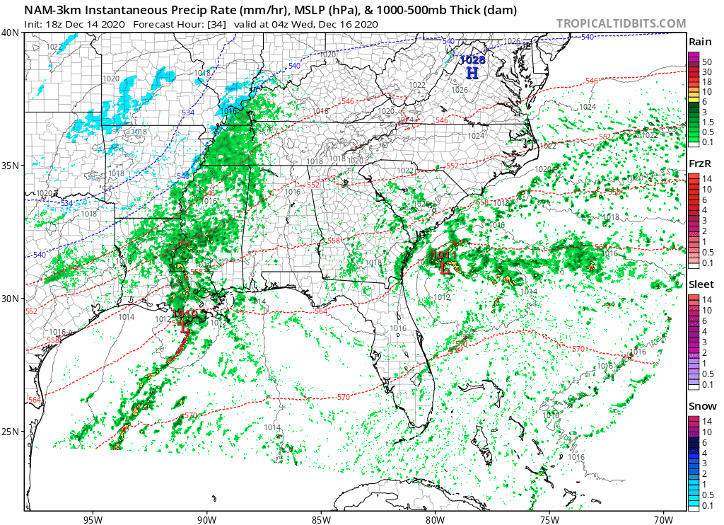
An icy mix on Wednesday Morning may impact your commute as a quick moving surface low interacts with a Carolina wedge.
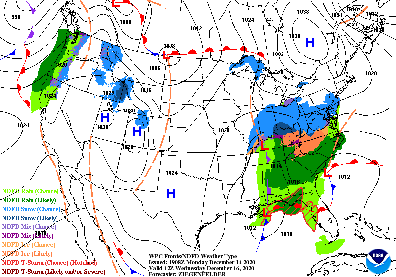
The set up is a classic situation for ice in the Carolinas. At the surface, high pressure is expected to push cool dry air down on the east side of the mountains. This Cold Air Damming, with warm Gulf of Mexico moisture moving above the wedge, is expected to bring the freezing rain Wednesday Morning.
The foothills and western piedmont of NC, especially near the Blue Ridge Mountains and the Virginia border, are expected to see the highest ice totals from this system. While this is not expected to be a major ice storm, there could be scattered power outages and dangerous road conditions.
The latest guidance from the National Weather Service shows that most of the foothills remain in a 10% chance of receiving over a quarter of an inch of ice. This means that most areas should see less than a quarter of an inch of ice.
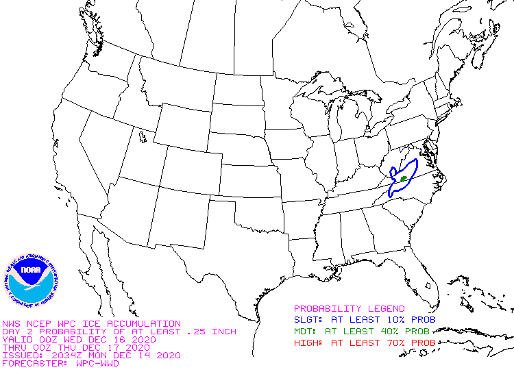
While this may not be a record book major ice storm, please take this storm seriously as it may cause hazardous travel conditions and scattered power outages on Wednesday.
