More rain is expected on Sunday and very early Monday before a front passes and brings cooler than average temperatures to the Carolinas.
Synopsis
Saturday will be mostly dry across the Carolinas; however, clouds will increase later in the day and overnight ahead of our next front.
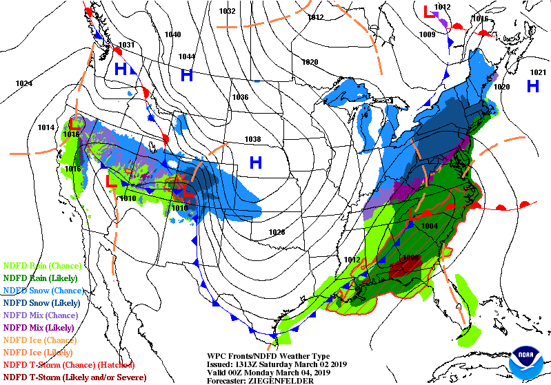
At the surface, an area of low pressure is expected to move from the desert southwest into the heart of Texas. This energy will interact with a stalled from along the Gulf of Mexico, allowing moist Gulf of Mexico air to surge northward into the Carolinas.
With a cold pool located at the surface in the Carolinas, temperatures are expected to be cooler on Sunday in the 50s. This cold pool will also allow the moisture from the Gulf of Mexico to ride up and and over the cold pool, enhancing heavy rain in the mountains and foothills.
The good news is this system is moving very quickly, which will limit the total amount of rain. By early Monday morning the system will begin pulling away, allowing high pressure to build in.
Rain Timing

The system will quickly track from west to east across the Carolinas. The rain is expected to start in the afternoon hours in the mountains. By the evening, the showers and storms will be spreading eastward across the foothills and piedmont. The rain quickly progresses during the overnight hours to the coastal plain before pushing off to the east by the morning hours Monday.
How Much Rain Is Expected?

With the quick moving nature of the system, rain totals are expected to remain under an inch. Areas were thunderstorms develop may see over an inch; however, most areas are expected to receive between a half of an inch to one inch.

Even though rain totals are expected to remain under an inch, flooding may become an issue, especially under slow moving downpours. The National Weather Service has placed much of western and central NC under a marginal risk of excessive rain on Sunday.
Below Average Temperatures Return

Behind the front, temperatures are expected to drop below average across the Carolinas. The map below shows the departure from average on Tuesday evening.These below average temperatures are expected to be last for the next five days.
