Living in the Carolinas means we are accustomed to roller coaster changes in our weather, and the start of 2022 is not going to be different. For the first three days of 2022, record high temperatures, severe storms, and wintry weather is expected.
Thunderstorm Line and Sunday
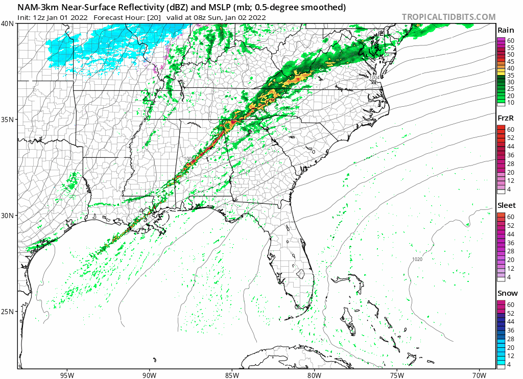
A line of thunderstorms kicks off our weather Sunday Morning in the Carolinas. The NAM High Resolution Computer Model shows the cold front and associated showers and storms moving across the Carolinas late Saturday Night through the morning hours on Sunday. The line may begin to loose some of its punch as it moves eastward towards the coastal plain on Sunday afternoon.
The primary threat with this line of showers and storms will be gusty winds. An isolated tornado can not be ruled out.
As the front passes, temperatures will begin to fall as the flow changes from the south to the northwest. But, the front will not go too far. It is expected to stall in the piedmont of NC, allowing an area low pressure to develop to bring a second round of showers Sunday Night and Monday Morning.
From 70s to Wintry Weather??? It’s Possible.
Sunday Night, this area of low pressure is expected to bring another round of showers and possibly a few thunderstorms. The models are very bullish right now in strengthening this area of low pressure rapidly as it moves south of I-85. Models are indicating an additional 1-2 inches of rain is possible, especially in eastern NC.
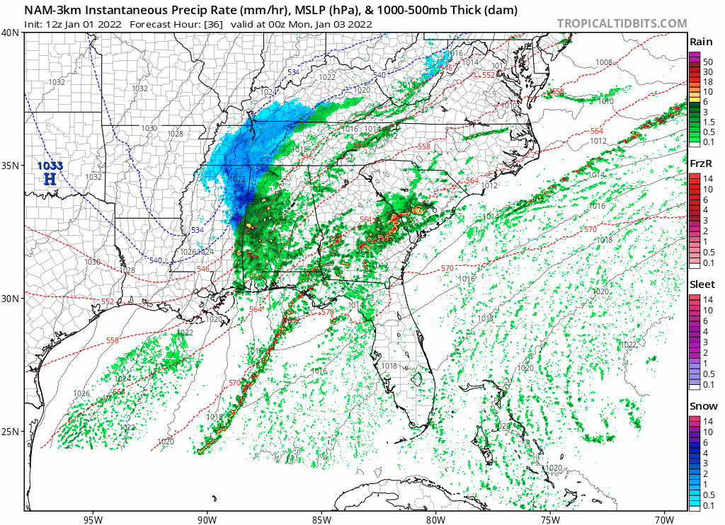
As the upper level disturbance continues to strengthen, coupled with colder air wrapping behind the system, the rain is expected to change to snow in the mountains of NC. Accumulations of 1-3 inches is possible, especially across the highest elevations before the system pulls out.
Outside the mountains, the forecast is tricky because it is a situation where the cold air is chasing the moisture. I suspect the best chance of seeing snow or sleet Monday would be in the northern portions of NC near the Virginia border. A quick accumulation is possible, but there is high uncertainty in the forecast. Please stay tuned for the latest changes in this forecast.
Winter’s Return to the Carolinas
This front is a pattern changing front. Behind it, we are expecting cooler air to filter into the Carolinas for the foreseeable future. Models keep most of the eastern United States in the average to below average category for temperatures through at least the middle of the month.
