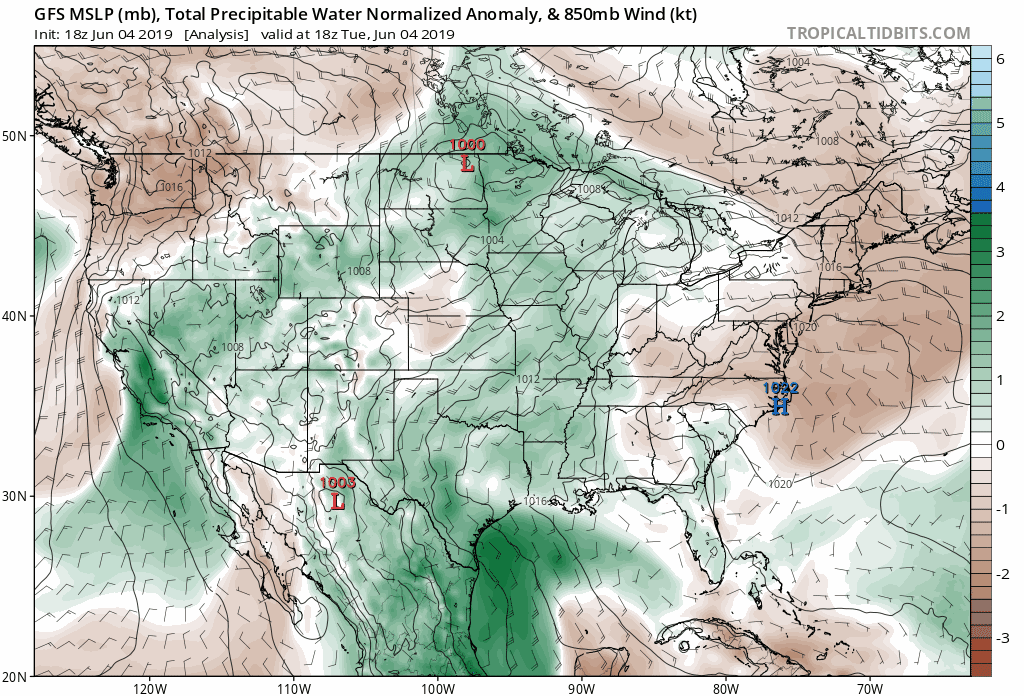
The upper level ridge has been dislodged and moisture is moving back into the Carolinas, leading to better rain chances over the next seven days.
Many areas have seen little rain over the past 20-25 days; however, that is expected to change starting Wednesday and lasting into next week. The GFS computer model shows the amount of moisture that is expected to surge northward into the Carolinas.
Some of the moisture is expected to come from a weak tropical wave in the Gulf of Mexico while moisture additional moisture is expected to move in from the Atlantic. Models are currently bringing the best surge of moisture into the southeast this weekend and early next week.
While it is too early to determine when the best chances of rain will be, the general trend is for a lot of moisture leading to elevated rain chances this weekend. Flash flooding may become an issue if heavier storms develop in the Blue Ridge Mountains, but it is too early to determine if this will occur.
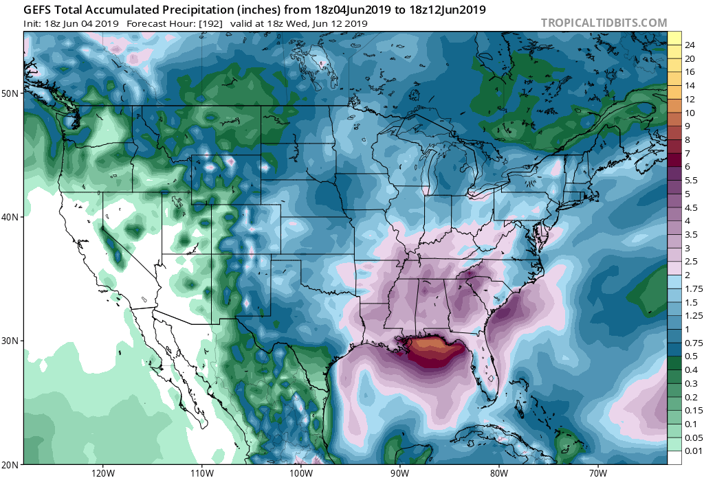
The GFS Ensemble shows 2-3 inches of rain across the mountains and foothills through next Tuesday. Areas along I-95 may see lower rain totals, but this is subject to change depending on where the best moisture axis tracks.
