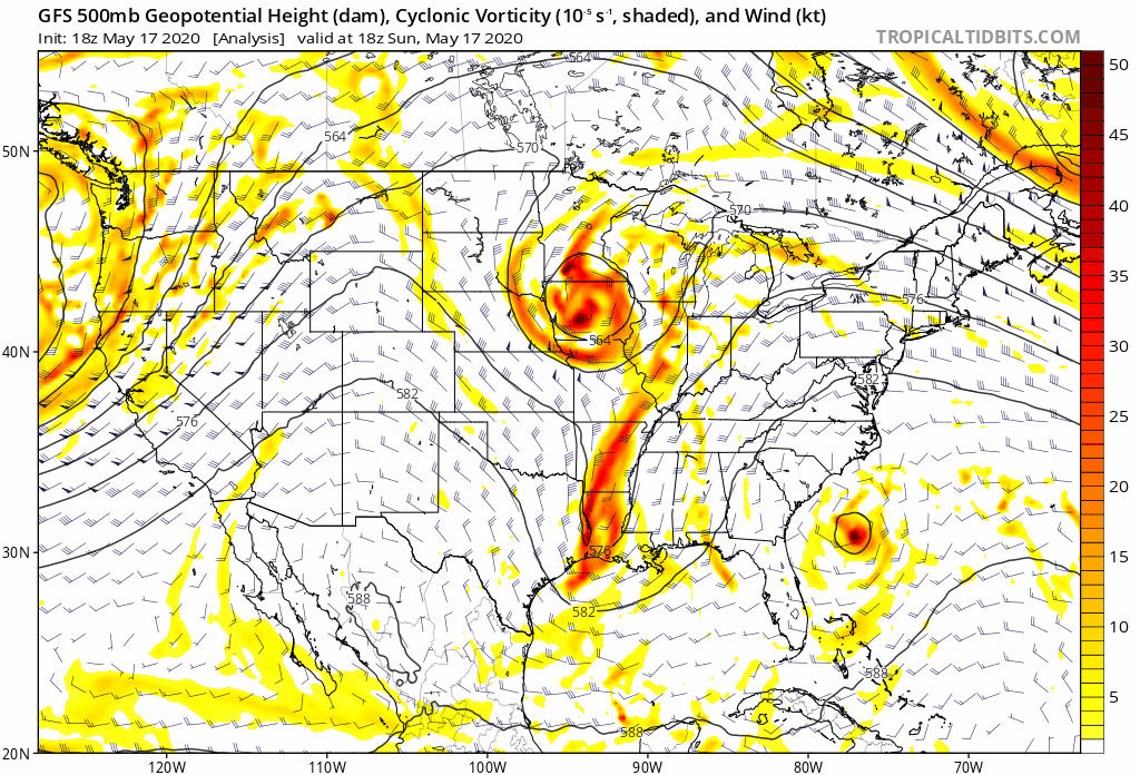
A slow moving upper level low is expected to impact our weather all week long, potentially bringing over two months of rainfall to some portions of western and central NC.
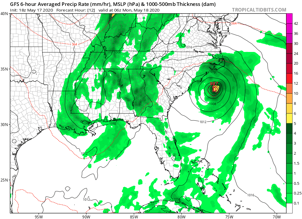
You can see how the upper level low develops as a piece of northern energy and a piece of southern energy combine just to our west. This will allow strong southerly flow from the Gulf of Mexico and Atlantic Ocean to bring copious amounts of moisture northward. This is not associated with Tropical Storm Arthur that is expected to remain offshore.
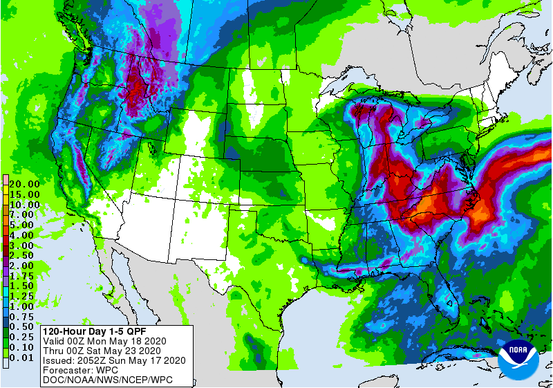
While it is not expected to rain 24/7, there will be at least an 80% chance of rain for western and central locations of NC from Monday evening through Friday evening. Below is the precipitation from the GFS computer model for Monday through Friday, and notice how much moisture is expected to come in and affect the Carolinas this week.
This rain is expected to add up, especially in western NC. The greatest totals will be right along the Blue Ridge in the upslope favored areas. These areas may see up to 10 inches of rain by Friday morning. Across western NC, 4-8 inches of rain is expected, with lower amounts as you head east.
Flooding is expected to become a threat from this system due to the amount of rain that is expected. As a reminder, do not drive across flooded roadways. Always turn around. Be sure to remain weather aware this week and be careful as you travel. Remember, wipers on, lights on.
