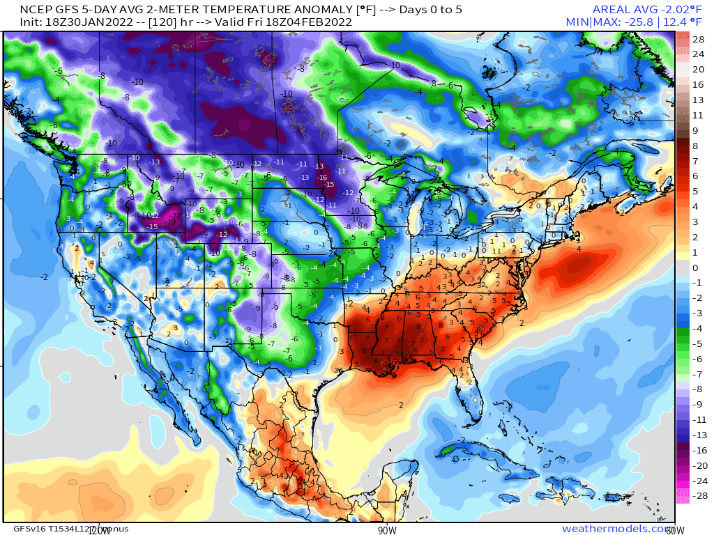
Warmer temperatures are in the forecast this week as we finally have winds from the southwest bringing warmer air; however, there is a chance of rain with our next cold front for the end of the week and cooler temperatures are expected this weekend.
This week will feature mostly dry conditions and as high pressure moves to our east, we will have a steady warmer trend with southerly winds. Temperatures during the first part of the week are expected to be seasonal across most of the Carolinas, with high temperatures in the upper 40s to mid 50s through the middle of the week. At the end of the week ahead of our next cold front is when temperatures are expected to surge in to the 60s and possibly 70s for some areas.
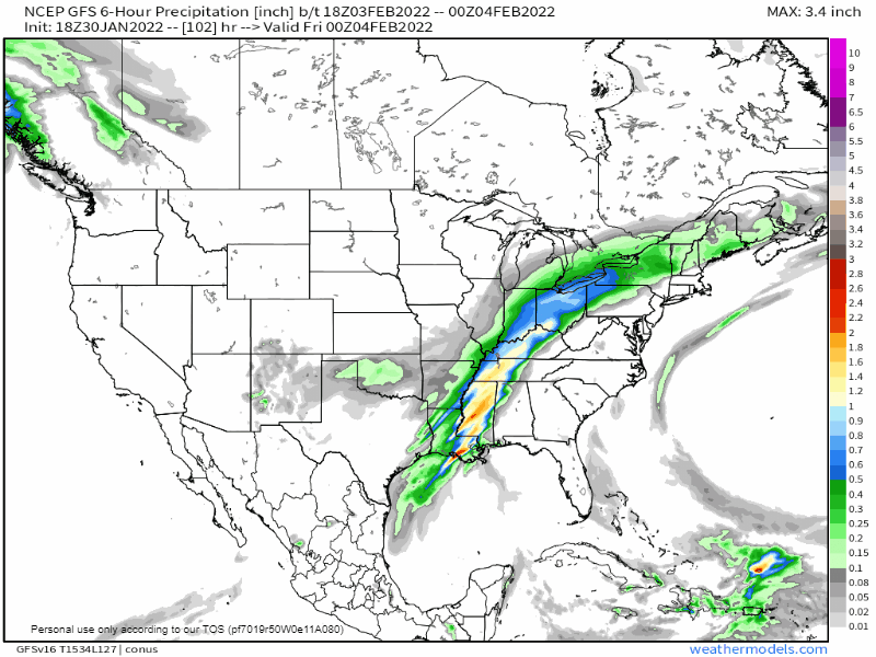
As we move into Thursday Night through the first part of Saturday, a cold front is expected to move into the Carolinas. Models are currently showing the chance of rain highest across western and central NC, but the models are showing the moisture drying up as it moves east. Therefore, the heaviest rains are expected across the mountains, foothills, and piedmont locations Thursday Night and Friday. If this trend holds, the rainfall might even be limited to the mountains with lower amounts east. It is a trend we must continue to monitor carefully, and I will keep you updated as we move forward.
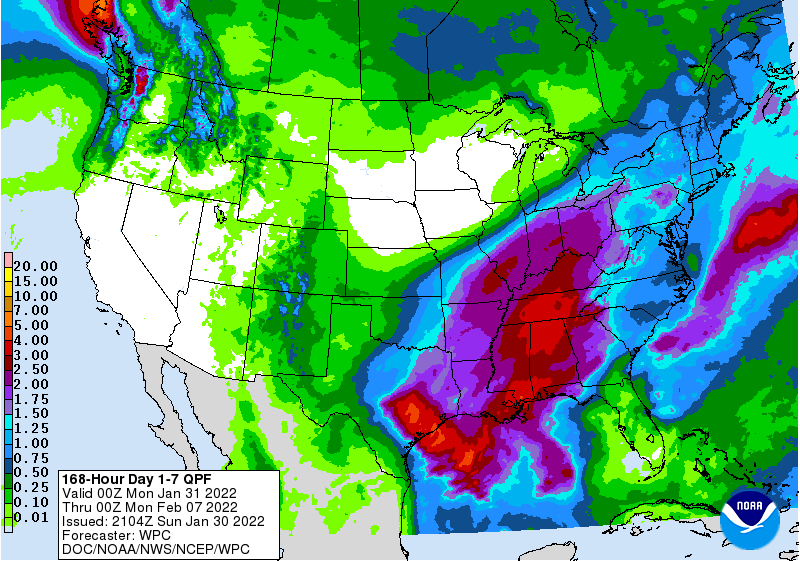
Behind the front, cooler temperatures are once again expected with highs returning below average for Saturday and Sunday. Overall, it is looking to be a nice week weather-wise. Have a great week!
