January has hardly felt anything like winter with temperatures and precipitation above average, and this is expected to continue with more storm systems bringing the potential for flooding to the Carolinas.
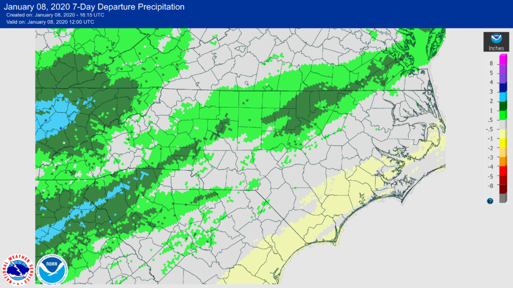
Many mountain, foothill, and piedmont communities have received average or above average precipitation the past seven days. With more storm systems approaching the Carolinas over the next few weeks, heavy rain is likely with the possibility of flooding in parts of the Carolinas.

The first storm system approaches on Friday. By Friday morning, showers are expected across the mountains and foothills of NC due to strong southerly flow. The showers are expected to be light to moderate through the daytime hours before picking up in intensity Friday Night and Saturday Morning. Rain could be heavy at times during the day on Saturday as the front passes through the Carolinas.
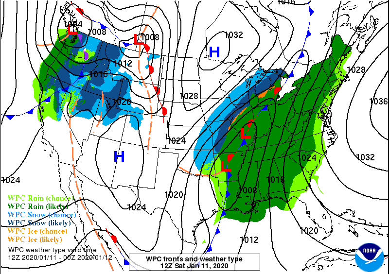
While there is some uncertainty with the progression of the front, current indications are the front stalls across the piedmont of NC with unsettled weather remaining for Sunday. Right now it appears Sunday will not be a wash out, but clouds and showers are expected.
A second wave of low pressure is expected to ride along the front Monday and Tuesday, bringing another round of showers to the Carolinas. Then, a possible third wave of low pressure may bring additional rain for Wednesday and Thursday of next week.

Monday Morning 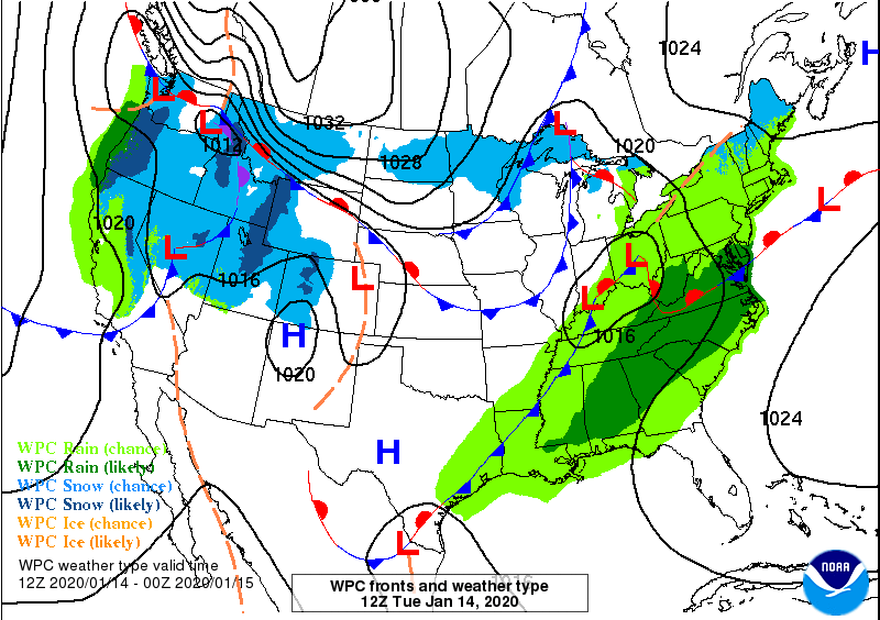
Tuesday Morning 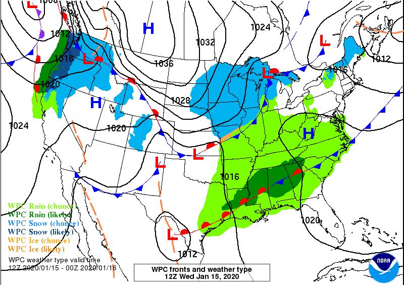
Wednesday Morning
With the stalled front and numerous disturbances riding up and along the front, heavy rain is expected and may lead to flash flooding. The Weather Prediction Center is predicting very heavy rain through the next seven days through Wednesday Morning across the mountains, foothills, and piedmont.
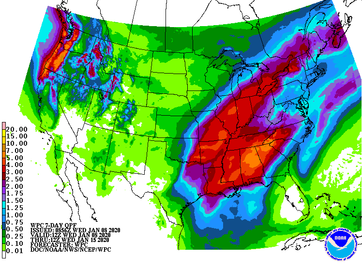
Some mountain locations may see up to 10 inches of rain through next Wednesday morning before the front finally clears, especially in upslope favored locations. Foothill locations may see 3-6 inches of rain through next Wednesday morning, with piedmont locations receiving 1-4 inches of rain. Lower amounts are expected along the coastal areas because they are further from the front’s location.
Uncertainty remains where the front stalls. If the front stalls further east, then the heavier rains would be located further east. If the front stalls further west, then the heavier rains would be located further west. I will keep you updated with the latest information.
