The National Weather Service has issued Winter Storm Warnings and Advisories for parts of the mountains and foothills beginning Tuesday Evening as a system is expected to bring a mixed bag of snow, sleet, and freezing rain before changing to a cold rain.
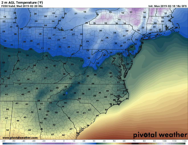
At the surface, cold high pressure is expected to push cold air down the east side of the mountains Tuesday evening. Temperatures are expected to drop below freezing at the surface in the mountains and foothills Tuesday night, and below freezing temperatures are expected to remain through the morning hours.
Moisture is expected overspread the area after 7:00 p.m. on Tuesday, and moisture continues to move northward across the Carolinas through the overnight and morning hours.
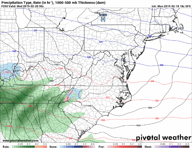
This is a very complex situation and weather conditions will vary by elevation and location, so this is a very difficult forecast. For elevations roughly above 2500 feet, a quick 1-3 inches of snow and sleet is possible Tuesday night before warmer air moves in aloft, changing the snow and sleet to freezing rain. A quarter of an inch of freezing rain is possible in these areas as well before the freezing rain changes to a cold rain late Wednesday morning or early Wednesday afternoon. That is why the National Weather Service has placed most of the northern mountain communities under a winter storm warning.
When areas receive over a quarter of an inch of ice, the major concerns are downed trees and power lines. Travel is also expected to be impacted Wednesday morning before temperatures warm above freezing.
Outside the mountains, periods of sleet and freezing rain is possible, but accumulations are expected to remain around a tenth of an inch. Winter Weather Advisories have been issued for many communities in the foothills. While widespread power outages and downed trees are not expected at the moment, travel may become an issue as temperatures drop below freezing Wednesday morning.
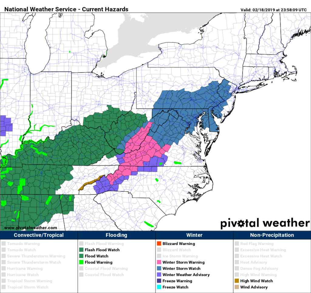
The National Weather Service has issued Winter Storm Warnings for areas shaded in pink, and Winter Weather Advisories for areas shaded in purple. I would not be shocked if additional counties in the triad and Catawba Valley were added to the Winter Weather Advisories tomorrow.
Be sure to monitor weather conditions starting Tuesday evening and especially Wednesday morning. If you are traveling, make sure to allow extra time due to the threat of black ice. Temperatures should warm during the late morning hours above freezing, which will end the black ice threat in the foothills and western piedmont.
