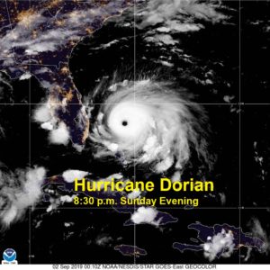
Major Hurricane Dorian strengthened Sunday into a category 5 hurricane and made landfall in the Bahamas with winds of 185 mph.
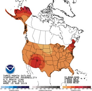
Meteorological fall begins today and current indications are above average temperatures and rain is most likely across the southeast United States.
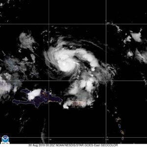
Hurricane Dorian has maintained hurricane strength, but has not strengthened much since yesterday evening due to mid level wind shear. The wind shear is expected
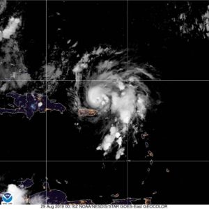
Hurricane Dorian is continuing to strengthen as it moves by Puerto Rico this evening under low wind shear and warm ocean waters. Current indications are
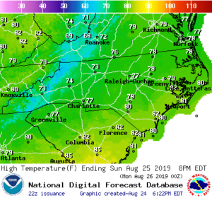
Temperatures across the Carolinas are 10-20 degrees below average for this time of year as a cold front brought a major change; however, the tropics
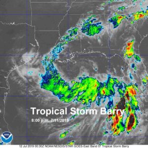
Tropical Storm Barry is continuing to strengthen over the warm water of the Gulf of Mexico and is expected to make landfall in Louisiana this
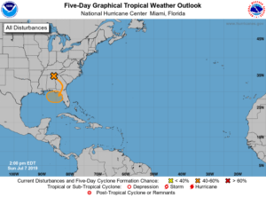
An upper level disturbance in the southeast United States is causing numerous showers and storms; however, this disturbance needs to be monitored for tropical development
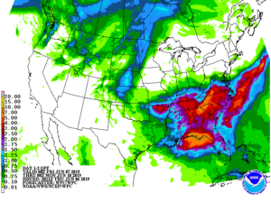
The heavy rain threat is continuing to increase this weekend, especially across western North Carolina. The Weather Prediction Center has placed parts of NC under
The upper level ridge has been dislodged and moisture is moving back into the Carolinas, leading to better rain chances over the next seven days.
Showers and thunderstorms are possible tonight across the Carolinas with the chance of severe thunderstorms possible on Wednesday.

